Date of visit: October 12, 2011: around 11:00 a.m.
I wonder if I’ll be able to finish my autumn trip to France by the end of this year…
「プロヴァンスの巨人」という異名を持つ山「モン・ヴァントゥ」に車で登ってみました。宿泊しているゴルドからもそう遠くない。直前に訪れたフランスで最も美しい村のひとつ「ヴナスク」から車で1時間くらいで麓につきます。
You can see the satellite photo.
This mountain is known as the stage for the Tour de France’s mountain stages and has been the subject of many legends. I recently started cycling, and that’s how I learned about this mountain.
We had some time and my parents seemed fine, so we decided to go up there.
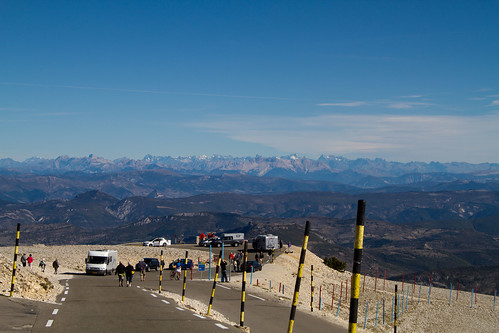
Because of the bicycle race, the road was very well maintained. Therefore, it was very easy to drive for the slope.
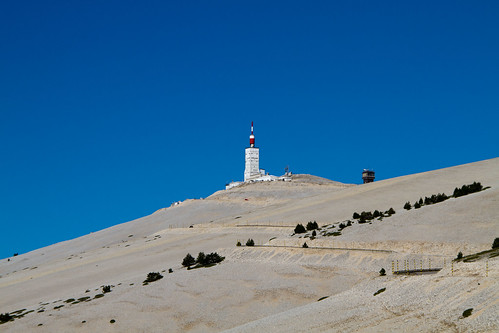
Well, even so, it’s a huge slope around here. Really. Even so, a lot of people were climbing up by bicycle. It was amazing.
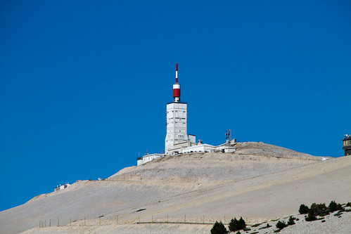
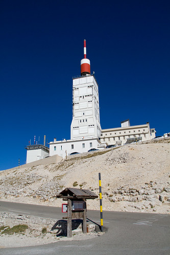
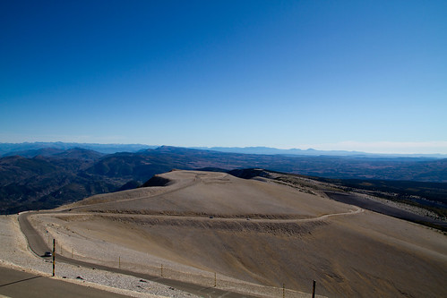
This TV tower is the trademark of this mountain. At this height, the scenery is desolate with bare limestone rocks.
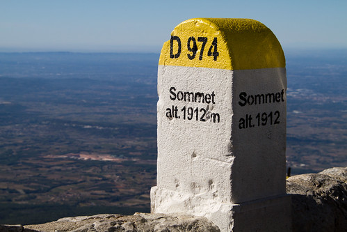
So I was able to reach the top from the town at the foot in about 30 minutes because the road was very good. The altitude is 1,912 meters.
This mountain is neither in the Alps nor in the Pyrenees, but is an independent peak standing in the west of the Luberon Mountains.
Not to mention the clear skies as you can see!
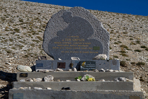
On the way back, I took a picture of the “Tom Simpson Monument” that I had missed and went down the mountain.
We had a short stay but enjoyed the wonderful view of Provence.
それにしてもここを自転車で登るなんてクレイジーです!(笑) やってみたい気持ちもありますけどね。

