Date: September 22, 2015
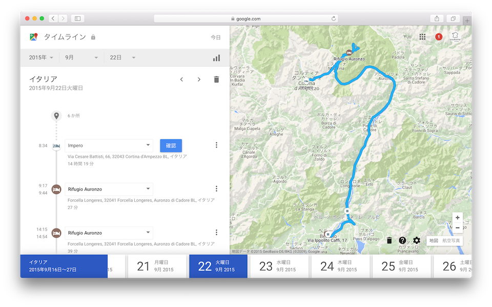
「Google Timelineによる軌跡」
- Clear skies in Treceme!
- What is Tretome?
- To the Rifugio Lavaledo (Lavaledo Hut), very easy walking route
- To the “Rifugio Pian di Cengia”, which was the most difficult.
- To the “Rifugio Locatelli” (Locatelli Hut), the route is narrow but relatively downhill and flat, easy to walk, but uphill at the end.
- Again to the “Locatelli Hut (Rifugio Locatelli)”, surprisingly hard!
- “Dine at the Rifugio Auronzo (Auronzo Hut)
- Move toward Venice, this day’s lodging is Belluno.
- Dinner at a restaurant right next to the hotel
Clear skies in Treceme!
In a way, this day was the biggest highlight of the trip. We were looking forward to hiking Trecime. However, it was cloudy in Cortina d’Ampezzo in the early morning. The other side of the mountain seemed to be covered with clouds, so I was worried. But if you look at the west side, there is also blue sky. It’s not raining in the whole Dolomites area.
コルティーナ・ダンペッツォのホテルをチェックアウト後、駐車場に向かいトレチーメ・ハイキングの拠点となる「オーロンゾ小屋(Rifugio Auronzo)」へと向かいます。ここまではクルマで行けるとのことです。ただし、コルティーナ・ダンペッツォからここへ向かうためにはひとつ峠を越える必要がありました。霧の中を進むので少々心配でしたが、全く厳しくない峠道でしたし、道も広かったので運転はとても楽でした。
And the sky became brighter and brighter around the time we crossed the pass. This might be promising.
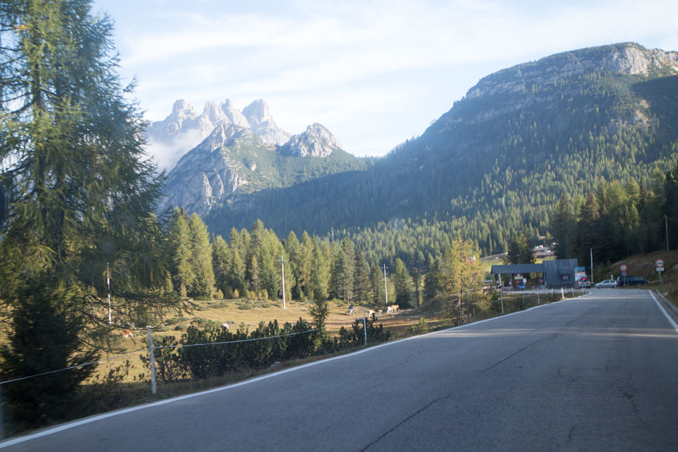
峠を超えてると「ミズリーナ湖」という美しい湖があります。この湖を右手に見ながら先に進みます。
トレチーメへと向かう路地をしばらく行くと、それらしき入り口が。どうやらここで入場料を払うようです。25ユーロ程度。
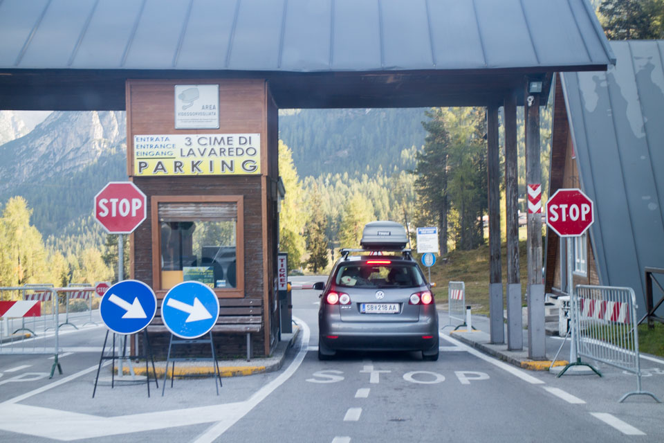
And when we approached Trecime, the weather was clear as you can see. It was really a good decision to move up the itinerary.
A little over 5 minutes from the toll booth, we arrived at our base, Auronzo Hut. Arrival was about 9:30, but it was already crowded with many tourists. As usual, most of them were speaking German.
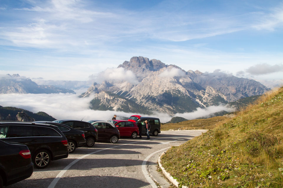
We parked our car here, changed our shoes and got ready with our luggage, and then headed out for the hike. The temperature was about 5 degrees Celsius, but the weather was so nice that it was probably rather hot while we were walking.
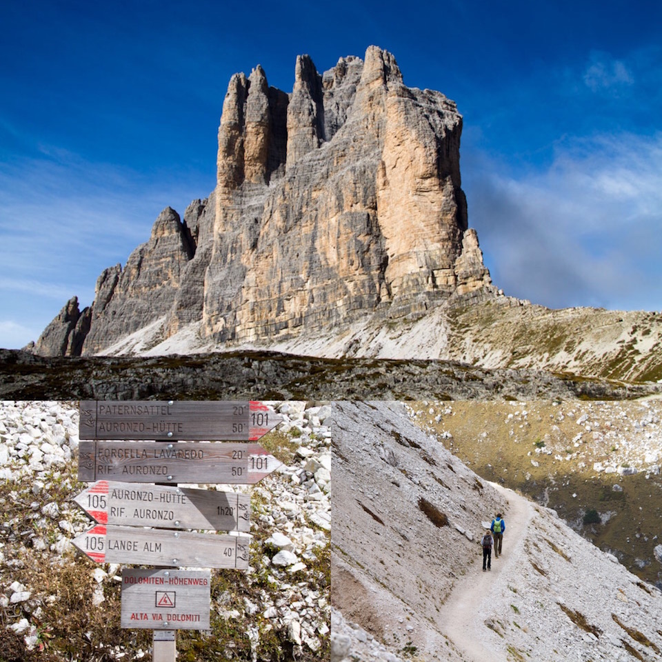
What is Tretome?
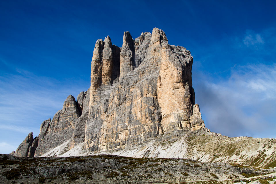
イタリア北東部に位置するドロミテの特徴といえば、[highlight]山々がまるで彫刻のようにそびえ立っていること[/highlight]だと思います。その中でも今日散策予定の「トレチーメ」は、綺麗な形のオブジェが3つ美しく並んでおり、そのトレチーメを眺めながらハイキングできるこのコースは、広大なドロミテの山々の中でも特に人気のあるハイキングコースです。標高は、標準的なルートであれば、2,200mから2,500mの間を行き来する感じです。
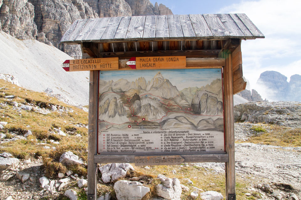
This is a hiking trail, but there are several routes available, each with different time requirements. The details are on the map that you get at the tollgate before heading to Auronzo Hut, so check it before you leave.
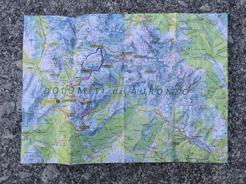
The route I chose is as follows.
- 「オーロンゾ小屋(Rifugio Auronzo)」→「ラヴァレド小屋(Rifugio Lavaledo)」:所要時間30分
- 「ラヴァレド小屋(Rifugio Lavaledo)」→「ピアン・ディ・センジア小屋(Rifugio Pian di Cengia)」:所要時間1時間20分
- 「ピアン・ディ・センジア小屋(Rifugio Pian di Cengia)」→「ロカテッリ小屋(Rifugio Locatelli)」:所要時間1時間
- 「ロカテッリ小屋(Rifugio Locatelli)」→「ラヴァレド小屋(Rifugio Lavaledo)」:所要時間30分
- 「ラヴァレド小屋(Rifugio Lavaledo)」→「オーロンゾ小屋(Rifugio Auronzo)」:所要時間30分
Including breaks, the route is around 4 hours and 30 minutes.
小屋の位置を確認すると、「オーロンゾ小屋(Rifugio Auronzo)」は左下、「ラヴァレド小屋(Rifugio Lavaledo)」は真ん中下、「ピアン・ディ・センジア小屋(Rifugio Pian di Cengia)」は右、「ロカテッリ小屋(Rifugio Locatelli)」は真ん中上、となっております。

ルートを決めたところで、いざ出発です。お水、そして大事な相棒「OLEO」も準備OK!
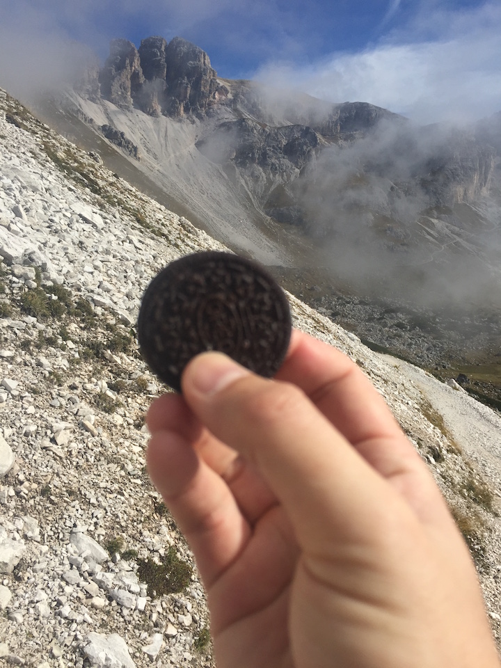
To the Rifugio Lavaledo (Lavaledo Hut), very easy walking route
まず最初は20分程度かけてハイキング開始。左にトレチーメを見ながらのルートです。「オーロンゾ小屋(Rifugio Auronzo)」→「ラヴァレド小屋(Rifugio Lavaledo)」の区間は非常に道が整備されていました。さらに[highlight]殆どアップダウンがなかった[/highlight]のでとても歩きやすいです。この区間だけであれば、ハイキングシューズ(またはトレッキングシューズ)でなくても普通の運動靴で歩けると思います。ただし、この後のルートは岩場を歩いたりしますので、絶対にハイキングシューズは必要です。
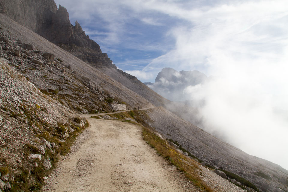
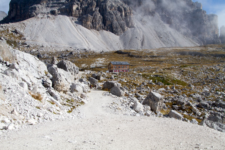
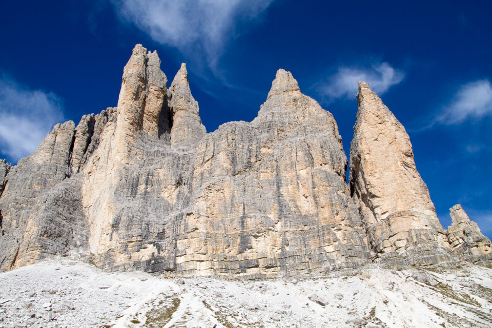
On the way, the weather still looks okay, although it is sometimes foggy. And in less than half an hour, we arrived at the first checkpoint, Rifugio Lavaledo (Lavaledo Hut). You can see the three summits of Torrecime. Commemorative photo.
To the “Rifugio Pian di Cengia”, which was the most difficult.
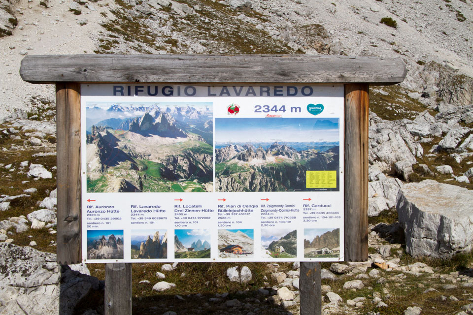
“From Rifugio Lavaledo, our next destination was Rifugio Pian di Cengia. Once we headed to the junction for “Rifugio Pian di Cengia” and “Rifugio Locatelli”, we took this junction to the right.
The view from near the junction. The weather is still nice at this time.
さてさて、この「ピアン・ディ・センジア小屋(Rifugio Pian di Cengia)」までのルートが、今回のハイキングで最も厳しかったところ。まず長かった、そしてアップダウンが激しかった。さらに途中から霧が出始めそれと同時に気温も下がりだしたのも辛かったです。標高は最大で2,500m近くになるため、思った以上に上り坂がきつかったです。高地ハイキング初心者ですから、前半ちょっと頑張りすぎた影響が出たのかもしれません。2,500m侮れませんね。
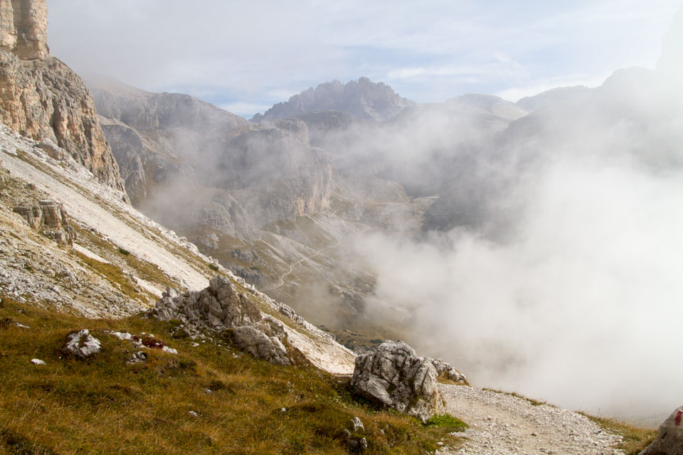
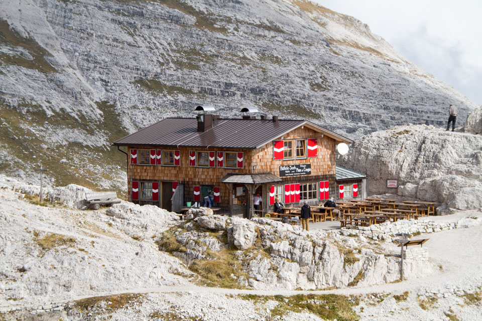
Still, we managed to hold on and arrived at our destination “Rifugio Pian di Cengia” in about 1 hour and 30 minutes. There was a lot of fog and clouds around here. I guess this is the limit of the weather… It was a pity that we couldn’t see much of the distant scenery.
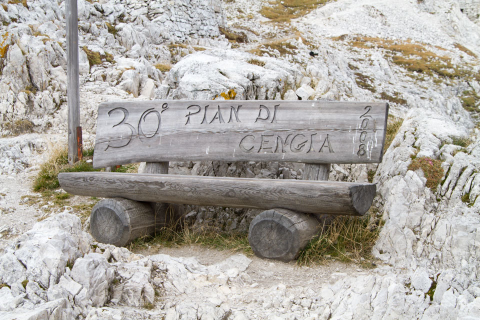
This “Rifugio Pian di Cengia” (Pian di Cengia Hut) is the turning point.
To the “Rifugio Locatelli” (Locatelli Hut), the route is narrow but relatively downhill and flat, easy to walk, but uphill at the end.
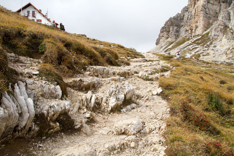
The first section of the second half is from “Rifugio Pian di Cengia” to “Rifugio Locatelli”. “After 500m back from the Rifugio Pian di Cengia, we followed a steep downhill route for a while. You have to be careful on this descent because the road is not good and the foothold is sometimes bad. After this steep descent, you can hike on a flat and gentle path with a great view, although the path is narrow. This route was very comfortable.
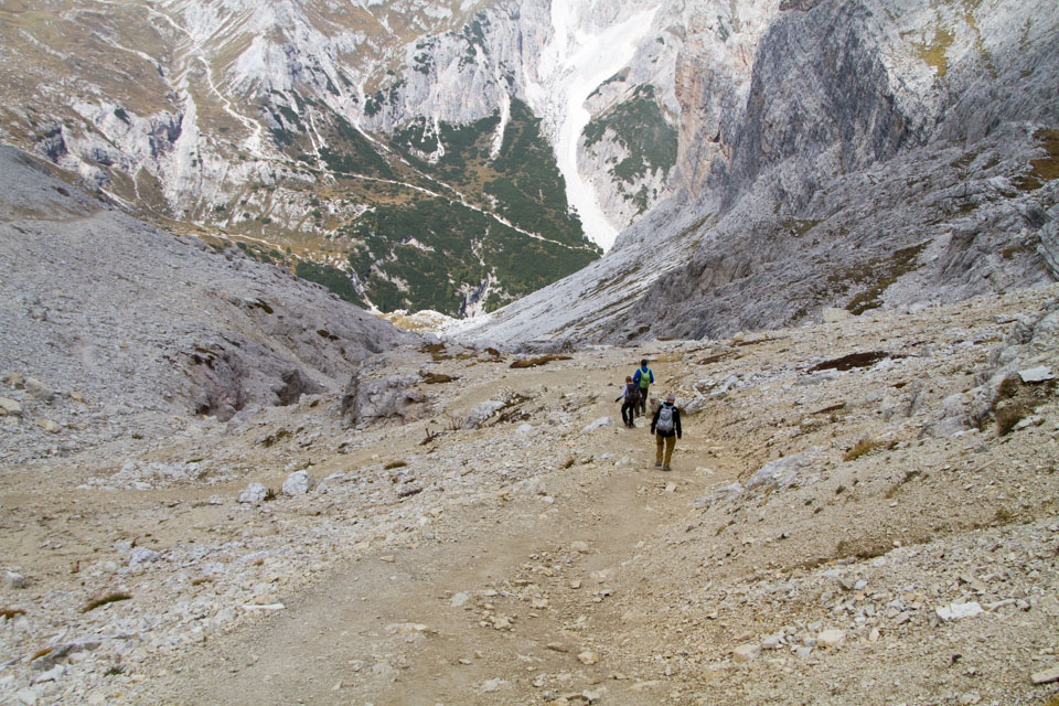
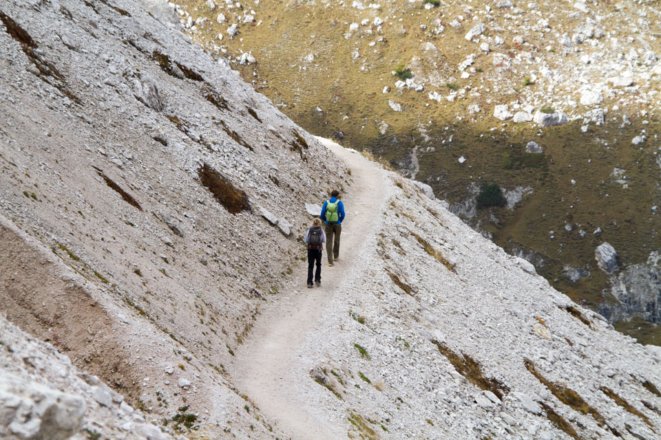
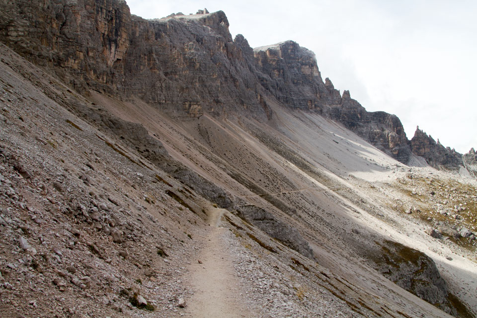
Often it was cloudy, but occasionally there were blue skies and we could see the beautiful mountains as we walked.
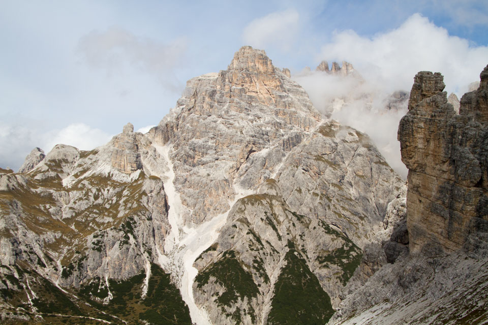
However, a steep uphill is waiting for you at the end. It was quite hard. I guess it’s because I’m not used to hiking. On the contrary, I thought I could train my body very well if I got used to it. However, I realized that I’m not good at climbing.
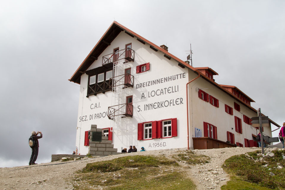
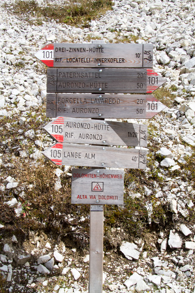
“The Rifugio Locatelli is much bigger than the previous huts, and it’s easy to get to from the Rifugio Auronzo. I know I’m repeating myself, but there were many German words here.
Again to the “Locatelli Hut (Rifugio Locatelli)”, surprisingly hard!
“As we were very tired at Rifugio Locatelli, we thought to go back directly to Rifugio Auronzo, but it seemed to take more than 1 hour and 30 minutes. I decided to return to the Rifugio Auronzo via the Rifugio Lavaledo.

The route to “Rifugio Lavaledo” (Lavaledo Hut) starts with a steep descent, followed by a gentle path for a while, but then we had to cross one pass, which was much harder than expected and very tiring.
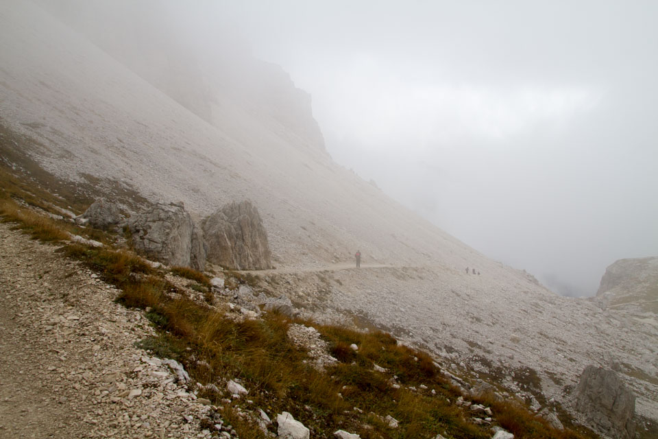
However, once you get past this point, it’s downhill all the way to the Rifugio Lavaledo (which was actually steeper than I expected), and then flat to the Rifugio Auronzo where we parked our car.
ちなみに、[highlight]「ロカテッリ小屋(Rifugio Locatelli)」から「ラヴァレド小屋(Rifugio Lavaledo)」のルートで眺めるトレチーメ一番美しい[/highlight]と思います。ガイドブックなどの写真もこのルートからの撮影だと思います。ただし、僕がここを歩いた時は残念ながら雲がかっており、美しい頂きをあまり眺めることができませんでした。
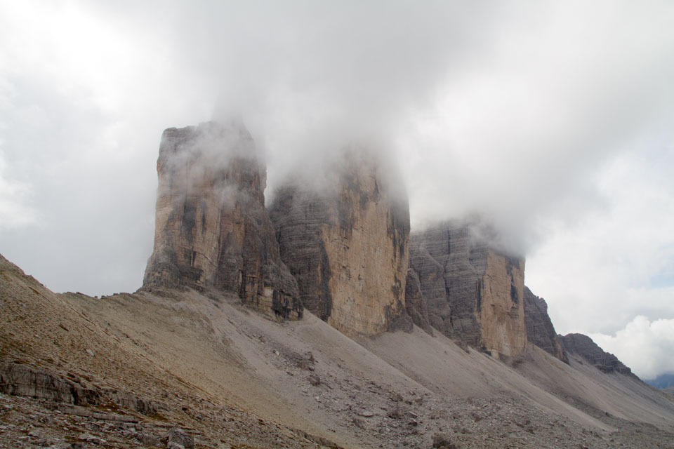
無事最後の難関の峠を超えて、40分ほどで「ラヴァレド小屋(Rifugio Lavaledo)」へ到着。一呼吸置いてから、ゴールの「オーロンゾ小屋(Rifugio Auronzo)」へ向けて出発。そして14時30分に到着。出発は10時前でしたので、予定通りの4時間30分。
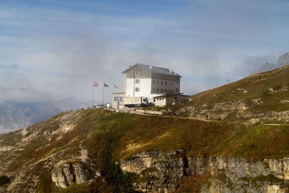
It was a very fun and fulfilling hike, even though I got more exhausted than I thought I would and the weather was disappointing. I’m really glad we moved it up a day.
“Dine at the Rifugio Auronzo (Auronzo Hut)
Finally, I went into the Auronzo Hut to buy some souvenirs, and found a delicious buffet. I thought I’d go to town and have a meal slowly, but I was starving because I walked so much. I was tempted and decided to take a meal here. The food was very Italian and German. But the shopkeeper, as usual, spoke German.
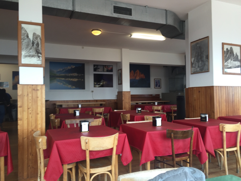
I had ravioli, bacon and potato soup. This soup is very German-speaking, isn’t it?
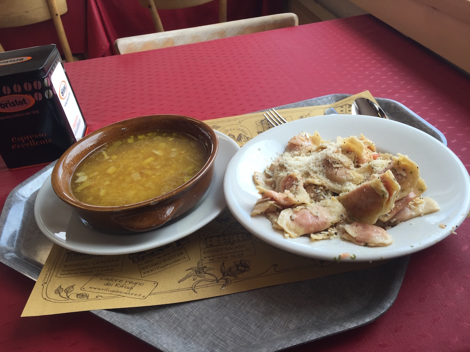
The warmth of the soup is soothing to the body. However, both of them were heavy in quantity. I think I would have been fine with just the soup (laughs).
Move toward Venice, this day’s lodging is Belluno.
そして、15時過ぎにトレチーメを出発。まだこの日の宿を取っていませんでしたが、とりあえずヴェネツィア方向へ向かい、高速に乗ったときに適当にサービスエリアにはいり、そこで休みながら場所を探そうとしました。高速は、ヴェネツィアから北に100kmほどの[highlight]「ベッルーノ(Belluno)」[/highlight]という街からなので、そこまでの約1時間30分は一般道を行くことになります。終始ほぼ行であったこと、そして道も相変わらずしっかりしていたこともあって、運転はしやすかったです。
Then, before 17:00, we arrived at the highway that starts from the outskirts of Belluno. We took a break to refuel at this entrance. I decided to look for an inn. I wanted to go to Padua if possible, but there was no good lodging in this Padua, and it became troublesome somehow.
Then we arrived in Belluno. We parked on the street (parking ticket system) near the center of the city proper.
Well, what was interesting was that this city, although there are some historic buildings, the number of hotels is not so many, basically a normal provincial city, but perhaps because it is a base to go to the Dolomites, the number of hotel rooms is very large, and a lot of tourists seemed to be staying that day.
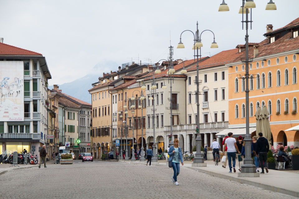
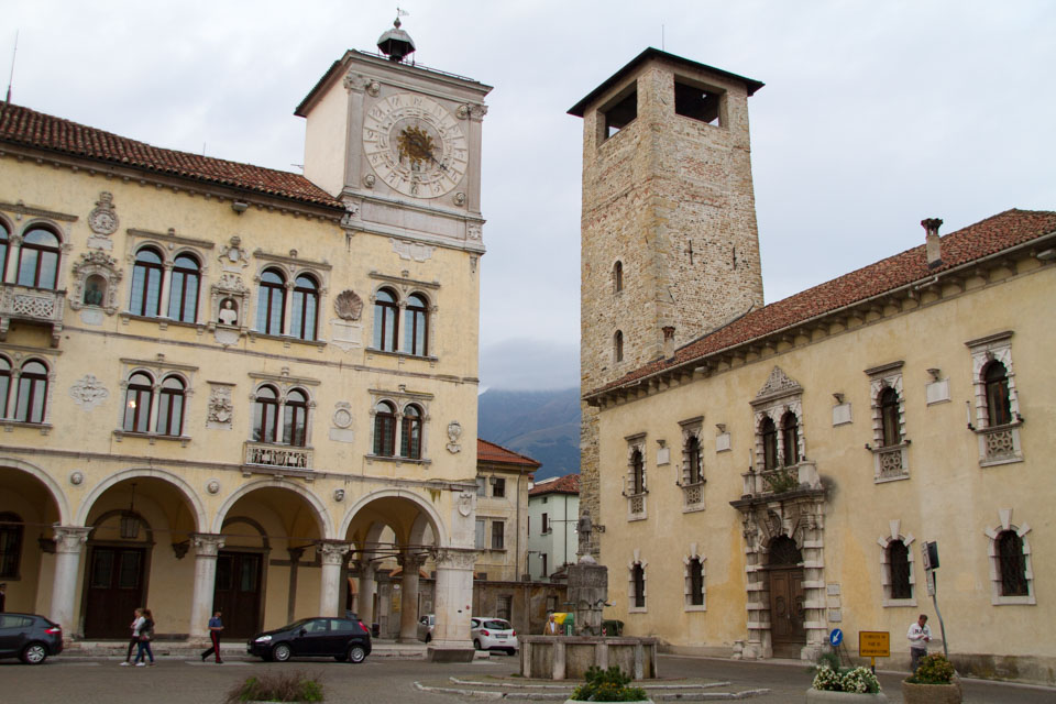
After this, we went to a restaurant, but it was also very crowded with tourists. I wonder if it is famous….
Dinner at a restaurant right next to the hotel
ここは以前「北イタリア旅行2015年9月 料理編」でもご紹介したラザニアが美味しかったところです。
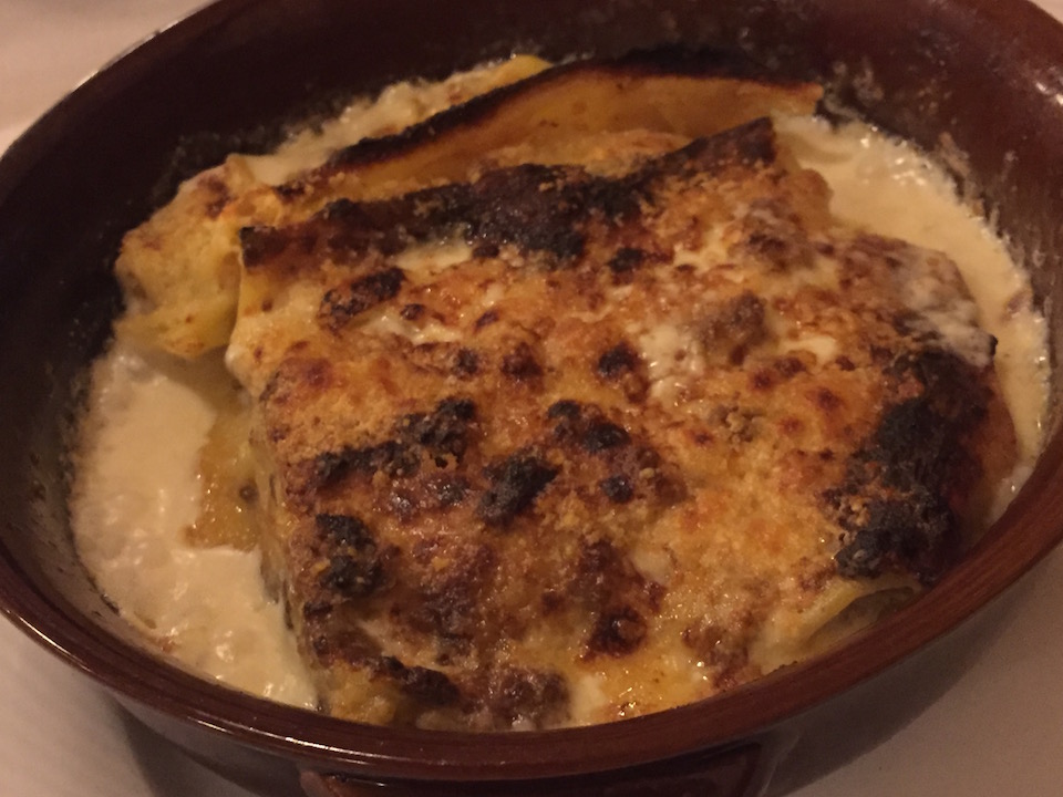
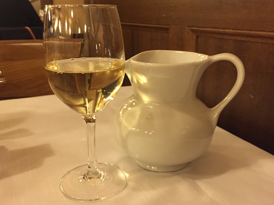
The other local white wines were also delicious.
I think the main meat was not good.
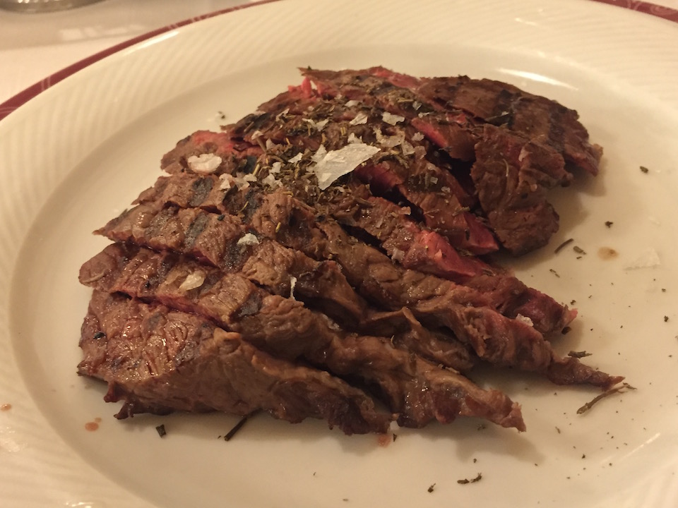
By the way, it seems that pizza is delicious here, and many people ordered pizza. I wonder if people in the north eat pizza more often than people in the south.
食事を終えて、部屋に戻り、シャワーを浴びてから就寝。よく運動したのでとても疲れていたようです。熟睡出来ました。(続く)
